Stanbridgeford Station House
Introduction
The photograph on this page of Stanbridgeford Station House by Bob Walters as part of the Geograph project.
The Geograph project started in 2005 with the aim of publishing, organising and preserving representative images for every square kilometre of Great Britain, Ireland and the Isle of Man.

There are currently over 7.5m images from over 14,400 individuals and you can help contribute to the project by visiting https://www.geograph.org.uk
Stanbridgeford Station House
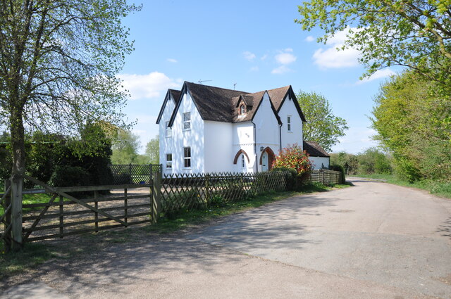
Image: © Bob Walters Taken: 21 Apr 2022
Stanbridgeford Station was on the Leighton Buzzard to Dunstable North branch of the London & North Western Railway. The railway passed immediately in front of the house and there were platforms for both tracks on the left of the picture. The Stanbridge to Totternhoe road came over a level crossing where the trellis fence is. The trackbed east from here forms the Sewell Greenway, part of National Cyclepath No. 6.
Images are licensed for reuse under creativecommons.org/licenses/by-sa/2.0
Image Location
Latitude
51.897415
Longitude
-0.594152