Old AA sign
Introduction
The photograph on this page of Old AA sign by Chris Minto as part of the Geograph project.
The Geograph project started in 2005 with the aim of publishing, organising and preserving representative images for every square kilometre of Great Britain, Ireland and the Isle of Man.

There are currently over 7.5m images from over 14,400 individuals and you can help contribute to the project by visiting https://www.geograph.org.uk
Old AA sign
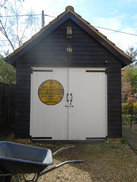
Image: © Chris Minto Taken: 3 Apr 2022
This is the most common style of AA village sign and would have been set up in the village in the 1920s-30s. It was in situ on a red brick wall in 1985 but was not seen in 1994. Given to the current householders a few years ago, it may have been on the demolished smithy which was nearby on Main Street. These signs were often fixed onto smithies or Public Houses.
Images are licensed for reuse under creativecommons.org/licenses/by-sa/2.0
Image Location
Latitude
53.420655
Longitude
-0.401003