Public footpath above the M4 south east of Mawdlam
Introduction
The photograph on this page of Public footpath above the M4 south east of Mawdlam by eswales as part of the Geograph project.
The Geograph project started in 2005 with the aim of publishing, organising and preserving representative images for every square kilometre of Great Britain, Ireland and the Isle of Man.

There are currently over 7.5m images from over 14,400 individuals and you can help contribute to the project by visiting https://www.geograph.org.uk
Public footpath above the M4 south east of Mawdlam
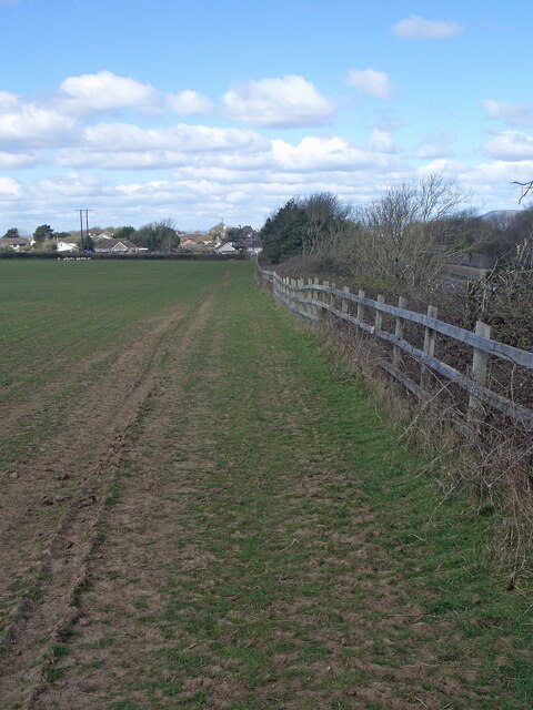
Image: © eswales Taken: 1 Apr 2022
A public footpath runs for several hundred metres alongside a fence at the top of a motorway cutting here. It offers some views of the motorway. Mawdlam is seen in the distance in the image.
Images are licensed for reuse under creativecommons.org/licenses/by-sa/2.0
Image Location
Latitude
51.520754
Longitude
-3.715841