Junction of rights-of-way, East Grinstead
Introduction
The photograph on this page of Junction of rights-of-way, East Grinstead by Robin Webster as part of the Geograph project.
The Geograph project started in 2005 with the aim of publishing, organising and preserving representative images for every square kilometre of Great Britain, Ireland and the Isle of Man.

There are currently over 7.5m images from over 14,400 individuals and you can help contribute to the project by visiting https://www.geograph.org.uk
Junction of rights-of-way, East Grinstead
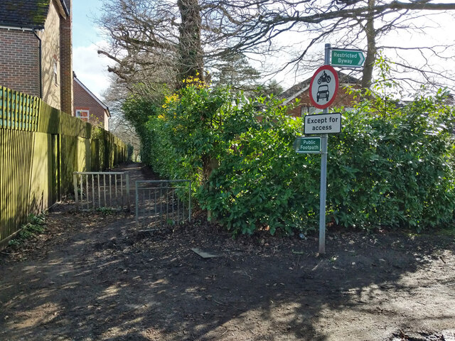
Image: © Robin Webster Taken: 12 Mar 2022
Footpath 1cEG meets restricted byway 54aEG. East of this point the byway is unrestricted, with reference 54bEG. Throughout it is Hackenden Lane.
Images are licensed for reuse under creativecommons.org/licenses/by-sa/2.0
Image Location
Latitude
51.134938
Longitude
-0.009238