Grass area, Garlic Rea, Brixham
Introduction
The photograph on this page of Grass area, Garlic Rea, Brixham by Derek Harper as part of the Geograph project.
The Geograph project started in 2005 with the aim of publishing, organising and preserving representative images for every square kilometre of Great Britain, Ireland and the Isle of Man.

There are currently over 7.5m images from over 14,400 individuals and you can help contribute to the project by visiting https://www.geograph.org.uk
Grass area, Garlic Rea, Brixham
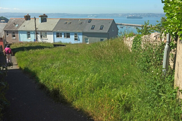
Image: © Derek Harper Taken: 13 Jun 2021
The path on the left connects the two parts of Garlic Rea. The terrace ahead is actually on North View Road, and there is indeed a splendid view to the north across Tor Bay, with cruise ships at anchor.
Images are licensed for reuse under creativecommons.org/licenses/by-sa/2.0
Image Location
Latitude
50.39633
Longitude
-3.50916