Aberkenfig
Introduction
The photograph on this page of Aberkenfig by Colin Prosser as part of the Geograph project.
The Geograph project started in 2005 with the aim of publishing, organising and preserving representative images for every square kilometre of Great Britain, Ireland and the Isle of Man.

There are currently over 7.5m images from over 14,400 individuals and you can help contribute to the project by visiting https://www.geograph.org.uk
Aberkenfig
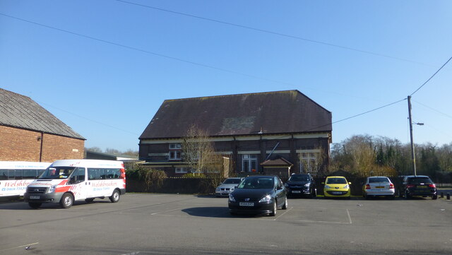
Image: © Colin Prosser Taken: 6 Apr 2015
Aberkenfig Welfare Hall, viewed off Pandy Road, my Dad used to say when he was in colliery before World War 2, colliers donated 6 pence or 3 pence from their wages to build this
Images are licensed for reuse under creativecommons.org/licenses/by-sa/2.0
Image Location
Latitude
51.54026
Longitude
-3.595301