Nisa Local, Main Street, Garforth
Introduction
The photograph on this page of Nisa Local, Main Street, Garforth by Stephen Craven as part of the Geograph project.
The Geograph project started in 2005 with the aim of publishing, organising and preserving representative images for every square kilometre of Great Britain, Ireland and the Isle of Man.

There are currently over 7.5m images from over 14,400 individuals and you can help contribute to the project by visiting https://www.geograph.org.uk
Nisa Local, Main Street, Garforth
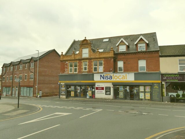
Image: © Stephen Craven Taken: 22 Jan 2022
See also Image An old map shows this as 'UDC [Urban District Council] offices'.
Images are licensed for reuse under creativecommons.org/licenses/by-sa/2.0
Image Location
Latitude
53.792024
Longitude
-1.388524