Muiryhill from Hill of Ryland
Introduction
The photograph on this page of Muiryhill from Hill of Ryland by Anne Burgess as part of the Geograph project.
The Geograph project started in 2005 with the aim of publishing, organising and preserving representative images for every square kilometre of Great Britain, Ireland and the Isle of Man.

There are currently over 7.5m images from over 14,400 individuals and you can help contribute to the project by visiting https://www.geograph.org.uk
Muiryhill from Hill of Ryland
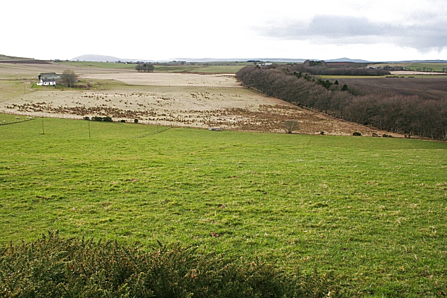
Image: © Anne Burgess Taken: 27 Feb 2008
There is boggy ground at the foot of the slope here. This is the source of the Burn of Muiryhill. The house at left, Coldhome, is in the next square.
Images are licensed for reuse under creativecommons.org/licenses/by-sa/2.0
Image Location
Latitude
57.602488
Longitude
-2.598506