Farm building at Nutwith Cote
Introduction
The photograph on this page of Farm building at Nutwith Cote by Lee Davidson as part of the Geograph project.
The Geograph project started in 2005 with the aim of publishing, organising and preserving representative images for every square kilometre of Great Britain, Ireland and the Isle of Man.

There are currently over 7.5m images from over 14,400 individuals and you can help contribute to the project by visiting https://www.geograph.org.uk
Farm building at Nutwith Cote
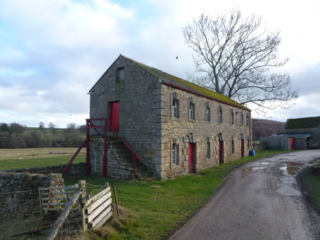
Image: © Lee Davidson Taken: 9 Jan 2022
A remarkably solidly built farm building at Nutwith Cote farm. Note the unusually prominent lintels above the windows and doors.
Images are licensed for reuse under creativecommons.org/licenses/by-sa/2.0
Image Location
Latitude
54.206408
Longitude
-1.647195