33 & 35 Dodmore Lane
Introduction
The photograph on this page of 33 & 35 Dodmore Lane by Ian Capper as part of the Geograph project.
The Geograph project started in 2005 with the aim of publishing, organising and preserving representative images for every square kilometre of Great Britain, Ireland and the Isle of Man.

There are currently over 7.5m images from over 14,400 individuals and you can help contribute to the project by visiting https://www.geograph.org.uk
33 & 35 Dodmore Lane
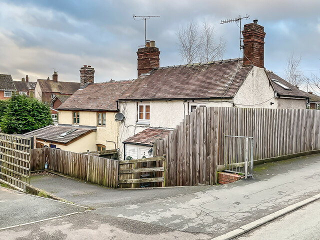
Image: © Ian Capper Taken: 28 Dec 2021
Pair of cottages on Dodmore Lane, marked on the 1886 25 inch map and so long predating the rest of the housing in the Sandpits estate, which date from the c.1950s.
Images are licensed for reuse under creativecommons.org/licenses/by-sa/2.0
Image Location
Latitude
52.375856
Longitude
-2.714117