Outflow from Toddbrook Reservoir
Introduction
The photograph on this page of Outflow from Toddbrook Reservoir by Bill Boaden as part of the Geograph project.
The Geograph project started in 2005 with the aim of publishing, organising and preserving representative images for every square kilometre of Great Britain, Ireland and the Isle of Man.

There are currently over 7.5m images from over 14,400 individuals and you can help contribute to the project by visiting https://www.geograph.org.uk
Outflow from Toddbrook Reservoir
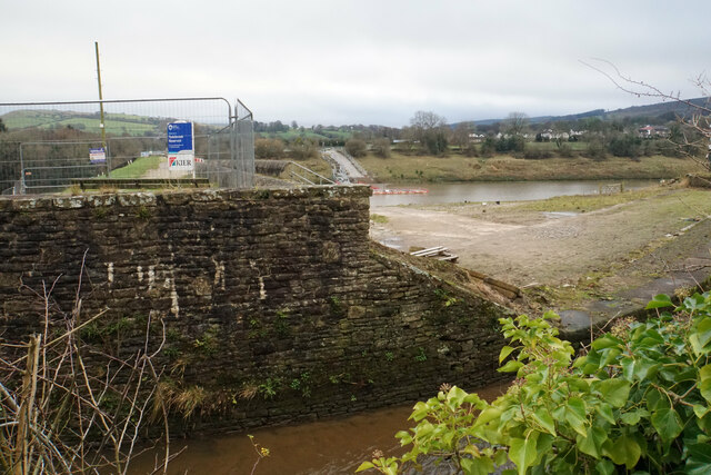
Image: © Bill Boaden Taken: 14 Dec 2021
The level of this reservoir has been kept much lower than normal since a national incident in August 2019 when the dam was in danger of breaking. Remedial works are now in course but will take several years to complete. The footpath across the dam has been closed.
Images are licensed for reuse under creativecommons.org/licenses/by-sa/2.0
Image Location
Latitude
53.327447
Longitude
-1.990802