The River Tamar
Introduction
The photograph on this page of The River Tamar by paul dickson as part of the Geograph project.
The Geograph project started in 2005 with the aim of publishing, organising and preserving representative images for every square kilometre of Great Britain, Ireland and the Isle of Man.

There are currently over 7.5m images from over 14,400 individuals and you can help contribute to the project by visiting https://www.geograph.org.uk
The River Tamar
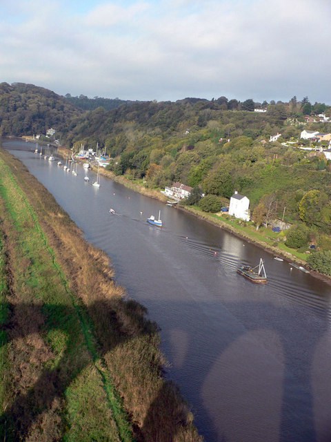
Image: © paul dickson Taken: 26 Oct 2004
Taken from the train (I've just noticed you can see its reflection!) on Calstock Viaduct. The river sweeps around the left heading towards Cotehele.
Images are licensed for reuse under creativecommons.org/licenses/by-sa/2.0
Image Location
Latitude
50.497134
Longitude
-4.213018