The west end of housing development at Tithe Barn, Pinhoe
Introduction
The photograph on this page of The west end of housing development at Tithe Barn, Pinhoe by David Smith as part of the Geograph project.
The Geograph project started in 2005 with the aim of publishing, organising and preserving representative images for every square kilometre of Great Britain, Ireland and the Isle of Man.

There are currently over 7.5m images from over 14,400 individuals and you can help contribute to the project by visiting https://www.geograph.org.uk
The west end of housing development at Tithe Barn, Pinhoe
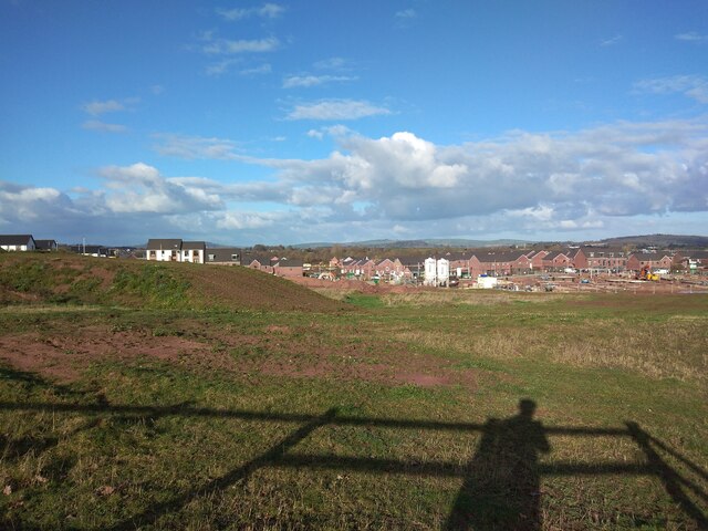
Image: © David Smith Taken: 5 Jan 2022
In the foreground is a spoil heap from landscaping the farmland. Together with Image] and Image] this gives a panorama of the construction site
Images are licensed for reuse under creativecommons.org/licenses/by-sa/2.0
Image Location
Latitude
50.734669
Longitude
-3.452273