Former warehouses on the River Ouse, Lewes
Introduction
The photograph on this page of Former warehouses on the River Ouse, Lewes by Simon Carey as part of the Geograph project.
The Geograph project started in 2005 with the aim of publishing, organising and preserving representative images for every square kilometre of Great Britain, Ireland and the Isle of Man.

There are currently over 7.5m images from over 14,400 individuals and you can help contribute to the project by visiting https://www.geograph.org.uk
Former warehouses on the River Ouse, Lewes
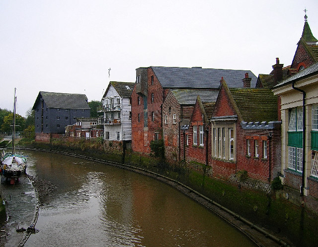
Image: © Simon Carey Taken: 26 Oct 2005
Looking south from the bridge over the Ouse at Cliffe, these buildings give an indication that the Ouse remained navigable into Lewes and that the river was used to transport goods into town up to the early part of the twentieth century. They have all been converted into other uses now.
Images are licensed for reuse under creativecommons.org/licenses/by-sa/2.0
Image Location


Leaflet Map data © OpenStreetMap
Latitude
50.872988
Longitude
0.015398