Abbots Avenue
Introduction
The photograph on this page of Abbots Avenue by Ian Capper as part of the Geograph project.
The Geograph project started in 2005 with the aim of publishing, organising and preserving representative images for every square kilometre of Great Britain, Ireland and the Isle of Man.

There are currently over 7.5m images from over 14,400 individuals and you can help contribute to the project by visiting https://www.geograph.org.uk
Abbots Avenue
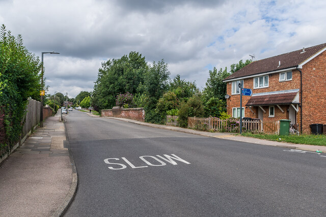
Image: © Ian Capper Taken: 5 Aug 2021
Looking along Abbots Avenue, with the bridge carrying the road over the Watford Junction to St Albans Abbey "Abbey Line" in the centre of the photo.
Images are licensed for reuse under creativecommons.org/licenses/by-sa/2.0
Image Location
Latitude
51.738491
Longitude
-0.33431