Old Milestone, A39, High Street, High Littleton
Introduction
The photograph on this page of Old Milestone, A39, High Street, High Littleton by Richard Raynsford as part of the Geograph project.
The Geograph project started in 2005 with the aim of publishing, organising and preserving representative images for every square kilometre of Great Britain, Ireland and the Isle of Man.

There are currently over 7.5m images from over 14,400 individuals and you can help contribute to the project by visiting https://www.geograph.org.uk
Old Milestone, A39, High Street, High Littleton
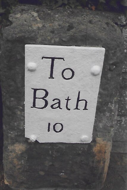
Image: © Richard Raynsford Taken: Unknown
A metal plate attached to a wall behind the pavement on the east side of the road, just south of the junction with Eastover Road. Parish of High Littleton (Bath And North East Somerset District). Bath incised iron plate, erected by the Bath turnpike trust in the 18th century. Inscription reads: To Bath 10 Milestone Society National ID: SO_BAGL10
Images are licensed for reuse under creativecommons.org/licenses/by-sa/2.0
Image Location
Latitude
51.323071
Longitude
-2.50953