Llwybr ger Craig-y-bwch / Path near Craig-y-bwch
Introduction
The photograph on this page of Llwybr ger Craig-y-bwch / Path near Craig-y-bwch by Alan Richards as part of the Geograph project.
The Geograph project started in 2005 with the aim of publishing, organising and preserving representative images for every square kilometre of Great Britain, Ireland and the Isle of Man.

There are currently over 7.5m images from over 14,400 individuals and you can help contribute to the project by visiting https://www.geograph.org.uk
Llwybr ger Craig-y-bwch / Path near Craig-y-bwch
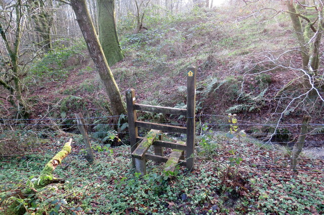
Image: © Alan Richards Taken: 17 Dec 2021
Llwybr troed cyhoeddus yn mynd i gyfeiriad Ffarm Coedhirion. Mae'r nant fach y tu hwn i'r sticil yn nodi ffin plwyfi Talyllychau a Llansadwrn. A public footpath heading towards Coedhirion Farm (trans. long trees). The brook just beyond the stile marks the parish boundary of Talley and Llansadwrn.
Images are licensed for reuse under creativecommons.org/licenses/by-sa/2.0
Image Location
Latitude
51.979182
Longitude
-3.940658