Gertrude Road, Lady Bay, West Bridgford
Introduction
The photograph on this page of Gertrude Road, Lady Bay, West Bridgford by Alan Murray-Rust as part of the Geograph project.
The Geograph project started in 2005 with the aim of publishing, organising and preserving representative images for every square kilometre of Great Britain, Ireland and the Isle of Man.

There are currently over 7.5m images from over 14,400 individuals and you can help contribute to the project by visiting https://www.geograph.org.uk
Gertrude Road, Lady Bay, West Bridgford
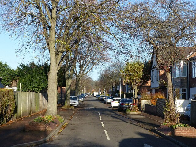
Image: © Alan Murray-Rust Taken: 10 Dec 2021
The Lady Bay area with its grid-based layout was developed from the late 19th century, mainly with typical semi-detached villas. This end of the road was not developed until the first half of the 20th century.
Images are licensed for reuse under creativecommons.org/licenses/by-sa/2.0
Image Location
Latitude
52.934408
Longitude
-1.117097