Undeveloped land at the end of Cherrington Way
Introduction
The photograph on this page of Undeveloped land at the end of Cherrington Way by Richard Law as part of the Geograph project.
The Geograph project started in 2005 with the aim of publishing, organising and preserving representative images for every square kilometre of Great Britain, Ireland and the Isle of Man.

There are currently over 7.5m images from over 14,400 individuals and you can help contribute to the project by visiting https://www.geograph.org.uk
Undeveloped land at the end of Cherrington Way
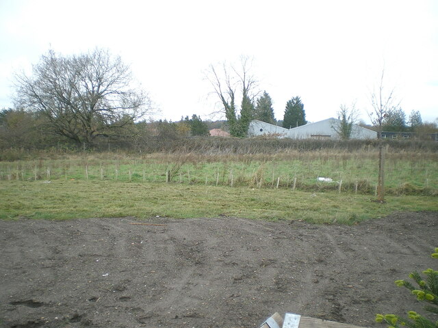
Image: © Richard Law Taken: 3 Dec 2021
This scene lies just to the right of Image, and shows an area of land left without houses as a kind of buffer-zone between the extensive Scarlett Oaks estate, and the railway line. The buildings visible beyond that are part of the Lamledge Lane industrial estate.
Images are licensed for reuse under creativecommons.org/licenses/by-sa/2.0
Image Location
Latitude
52.664121
Longitude
-2.36236