Shirenewton direction and distance sign, Mounton, Monmouthshire
Introduction
The photograph on this page of Shirenewton direction and distance sign, Mounton, Monmouthshire by Jaggery as part of the Geograph project.
The Geograph project started in 2005 with the aim of publishing, organising and preserving representative images for every square kilometre of Great Britain, Ireland and the Isle of Man.

There are currently over 7.5m images from over 14,400 individuals and you can help contribute to the project by visiting https://www.geograph.org.uk
Shirenewton direction and distance sign, Mounton, Monmouthshire
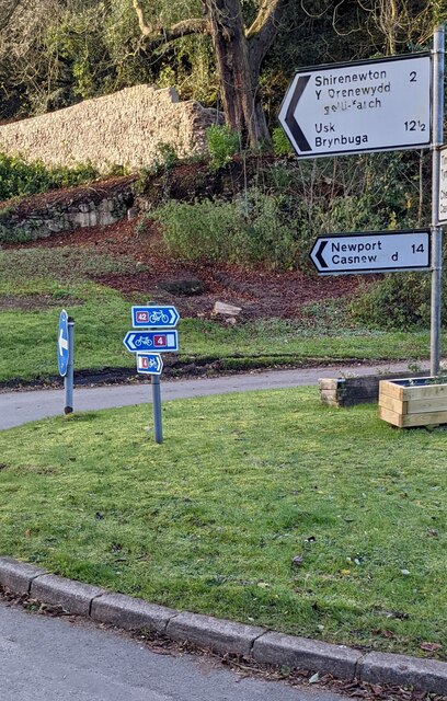
Image: © Jaggery Taken: 28 Nov 2021
The black arrow on the sign points to the road named Smooth Stones. https://www.geograph.org.uk/photo/7034105 Also in view are small National Cycle Network direction signs.
Images are licensed for reuse under creativecommons.org/licenses/by-sa/2.0
Image Location
Latitude
51.634675
Longitude
-2.705635