Himley Meadows Housing Development in Staffordshire
Introduction
The photograph on this page of Himley Meadows Housing Development in Staffordshire by Roger Kidd as part of the Geograph project.
The Geograph project started in 2005 with the aim of publishing, organising and preserving representative images for every square kilometre of Great Britain, Ireland and the Isle of Man.

There are currently over 7.5m images from over 14,400 individuals and you can help contribute to the project by visiting https://www.geograph.org.uk
Himley Meadows Housing Development in Staffordshire
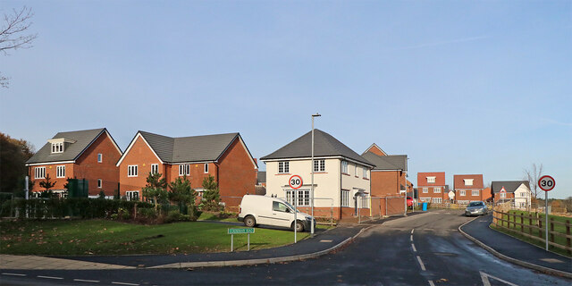
Image: © Roger Kidd Taken: 25 Nov 2021
The large village of Wombourne is expanding across more farmland here at "Himley Meadows", off the B4176 Bridgnorth Road near Himley. This is Rosemary Road, looking north-east and seen from the junction with the B4176 Bridgnorth Road.
Images are licensed for reuse under creativecommons.org/licenses/by-sa/2.0
Image Location
Latitude
52.523293
Longitude
-2.190526