Grandpont Nature Park
Introduction
The photograph on this page of Grandpont Nature Park by Stephen McKay as part of the Geograph project.
The Geograph project started in 2005 with the aim of publishing, organising and preserving representative images for every square kilometre of Great Britain, Ireland and the Isle of Man.

There are currently over 7.5m images from over 14,400 individuals and you can help contribute to the project by visiting https://www.geograph.org.uk
Grandpont Nature Park
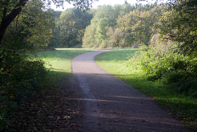
Image: © Stephen McKay Taken: 2 Nov 2021
The original Grandpont was an 11th century causeway, supported by more than 40 arches, that ran south from Folly Bridge. In the 19th century the name was adopted for the newly developing suburb in south Oxford. Here it has been used for an eight acre park on the site of the former Oxford gasworks. The works closed in 1960, although two gas holders survived for some years after that. Eventually the area was capped with clay and landscaped.
Images are licensed for reuse under creativecommons.org/licenses/by-sa/2.0
Image Location
Latitude
51.745437
Longitude
-1.262708