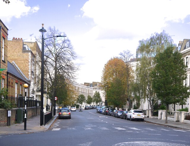
Formosa Street, Maida Vale: view north-east
Introduction
The photograph on this page of Formosa Street, Maida Vale: view north-east by Stefan Czapski as part of the Geograph project.
The Geograph project started in 2005 with the aim of publishing, organising and preserving representative images for every square kilometre of Great Britain, Ireland and the Isle of Man.
There are currently over 7.5m images from over 14,400 individuals and you can help contribute to the project by visiting https://www.geograph.org.uk

Image: © Stefan Czapski Taken: 2 Nov 2021
I had a vague memory of Formosa Street, from way back in the last century - as a little stub of a street, going round a sharp bend. So I was surprised - approaching from the bridge over the canal - to find myself in a wide thoroughfare of that same name. Having walked the length of it, I'd say that there are three distinct stretches. Approaching from the south, you first reach the wide straight bit, sloping down from the canal. Part of that carries a bus route. Then, beyond the junction with Warwick Avenue, the roadway narrows and veers a little to the right (middle distance in the picture). Finally, beyond Castellain Road (and not visible in the picture) there is my 'stub'. The road is narrow and there's a tight bend. The place feels much more enclosed and inhabited - with folk eating at tables set out on the pavement.
Image Location


