Radford Bank near Weeping Cross, Stafford
Introduction
The photograph on this page of Radford Bank near Weeping Cross, Stafford by Roger Kidd as part of the Geograph project.
The Geograph project started in 2005 with the aim of publishing, organising and preserving representative images for every square kilometre of Great Britain, Ireland and the Isle of Man.

There are currently over 7.5m images from over 14,400 individuals and you can help contribute to the project by visiting https://www.geograph.org.uk
Radford Bank near Weeping Cross, Stafford
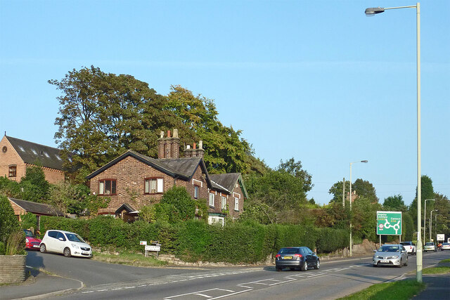
Image: © Roger Kidd Taken: 11 Sep 2014
Radford Bank is the A34 (and A531), leading east-southeast towards Rugeley and Cannock.
Images are licensed for reuse under creativecommons.org/licenses/by-sa/2.0
Image Location
Latitude
52.791756
Longitude
-2.088043