Fields by the River Penk near Stafford
Introduction
The photograph on this page of Fields by the River Penk near Stafford by Roger Kidd as part of the Geograph project.
The Geograph project started in 2005 with the aim of publishing, organising and preserving representative images for every square kilometre of Great Britain, Ireland and the Isle of Man.

There are currently over 7.5m images from over 14,400 individuals and you can help contribute to the project by visiting https://www.geograph.org.uk
Fields by the River Penk near Stafford
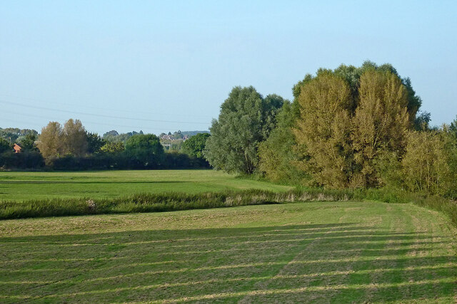
Image: © Roger Kidd Taken: 11 Sep 2014
Looking north, this well maintained grassland is on the flood plain of the River Penk north of Radford Bridge. It is a popular open space open to the public and includes a children's playground. The river is very low and quietly flowing at base of the trees on the right. Behind the trees, the Deepmore Drain flows northwards, joining the River Penk near Baswich. Crossing the meadow, and joining it halfway up the image is the Rickerscote Drain.
Images are licensed for reuse under creativecommons.org/licenses/by-sa/2.0
Image Location
Latitude
52.79382
Longitude
-2.092793