Benches and plaque, Old Mill Road
Introduction
The photograph on this page of Benches and plaque, Old Mill Road by Stephen Craven as part of the Geograph project.
The Geograph project started in 2005 with the aim of publishing, organising and preserving representative images for every square kilometre of Great Britain, Ireland and the Isle of Man.

There are currently over 7.5m images from over 14,400 individuals and you can help contribute to the project by visiting https://www.geograph.org.uk
Benches and plaque, Old Mill Road
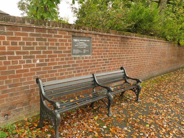
Image: © Stephen Craven Taken: 17 Oct 2021
The plaque records the opening of the Sandbach Inner Relief Road on 27 November 1986 by Cllr Mrs M E Melrose; the road was designed by Cheshire County Council Highways Department (I recall seeing plans for the road when I had an unsuccessful interview with them in 1983) and built by A Monk & Co of Warrington.
Images are licensed for reuse under creativecommons.org/licenses/by-sa/2.0
Image Location
Latitude
53.143783
Longitude
-2.365939