Dean Cross junction
Introduction
The photograph on this page of Dean Cross junction by Martin Tester as part of the Geograph project.
The Geograph project started in 2005 with the aim of publishing, organising and preserving representative images for every square kilometre of Great Britain, Ireland and the Isle of Man.

There are currently over 7.5m images from over 14,400 individuals and you can help contribute to the project by visiting https://www.geograph.org.uk
Dean Cross junction
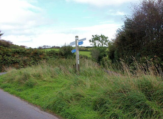
Image: © Martin Tester Taken: 26 Sep 2021
Dean Lane descends steeply to the right, Lydiate Lane goes straight on uphill & is shown to be a designated cycle route (13 miles to Barnstaple).
Images are licensed for reuse under creativecommons.org/licenses/by-sa/2.0
Image Location
Latitude
51.217799
Longitude
-3.856909