Bradley Lane
Introduction
The photograph on this page of Bradley Lane by Malcolm Neal as part of the Geograph project.
The Geograph project started in 2005 with the aim of publishing, organising and preserving representative images for every square kilometre of Great Britain, Ireland and the Isle of Man.

There are currently over 7.5m images from over 14,400 individuals and you can help contribute to the project by visiting https://www.geograph.org.uk
Bradley Lane
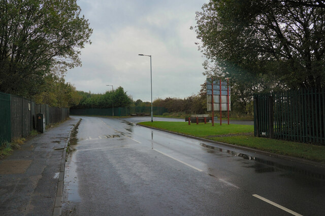
Image: © Malcolm Neal Taken: 5 Oct 2021
We have just passed the industrial estate and are about to enter the village of Standish.
Images are licensed for reuse under creativecommons.org/licenses/by-sa/2.0
Image Location
Latitude
53.59414
Longitude
-2.654773