Former railway station, Tavistock
Introduction
The photograph on this page of Former railway station, Tavistock by Chris Allen as part of the Geograph project.
The Geograph project started in 2005 with the aim of publishing, organising and preserving representative images for every square kilometre of Great Britain, Ireland and the Isle of Man.

There are currently over 7.5m images from over 14,400 individuals and you can help contribute to the project by visiting https://www.geograph.org.uk
Former railway station, Tavistock
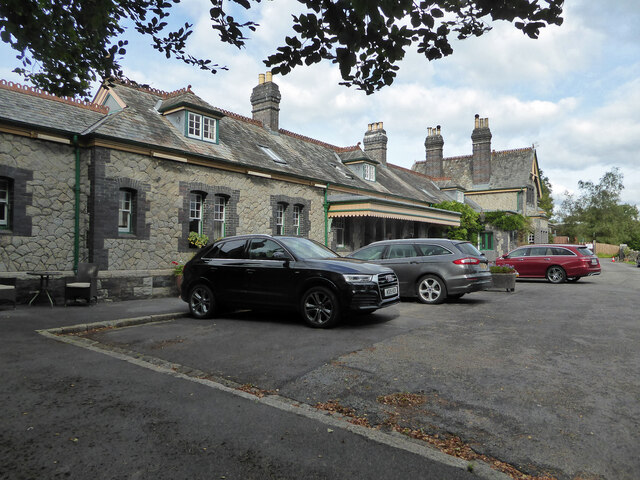
Image: © Chris Allen Taken: 21 Sep 2021
Now converted to accommodation and seen from the public road that ends by the gate to the property. The railway line is now a footpath.
Images are licensed for reuse under creativecommons.org/licenses/by-sa/2.0
Image Location
Latitude
50.551646
Longitude
-4.145408