Frobisher Road, Bilton
Introduction
The photograph on this page of Frobisher Road, Bilton by Stephen McKay as part of the Geograph project.
The Geograph project started in 2005 with the aim of publishing, organising and preserving representative images for every square kilometre of Great Britain, Ireland and the Isle of Man.

There are currently over 7.5m images from over 14,400 individuals and you can help contribute to the project by visiting https://www.geograph.org.uk
Frobisher Road, Bilton
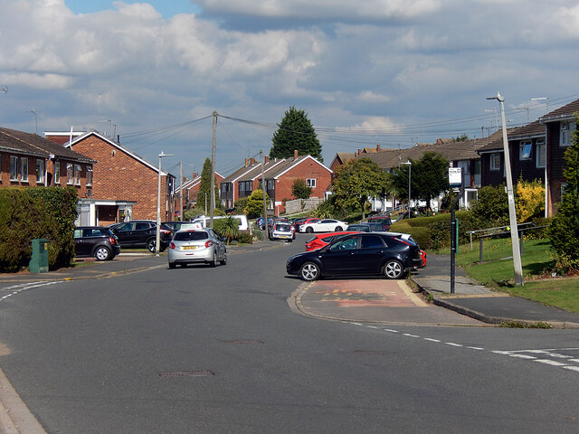
Image: © Stephen McKay Taken: 20 Sep 2021
Frobisher Road forms the spine of the Admirals Estate where all the streets are named after British admirals - some better known than others. The area was developed around the 1970s, consisting mostly of semi-detached houses built for the private market. As is often the way nowadays, there seem to be more parked cars than the infrastructure can comfortably accommodate even though a regular bus service passes this way.
Images are licensed for reuse under creativecommons.org/licenses/by-sa/2.0
Image Location
Latitude
52.365996
Longitude
-1.294574