Taff Vale (Cwm Taf)
Introduction
The photograph on this page of Taff Vale (Cwm Taf) by Alan Hughes as part of the Geograph project.
The Geograph project started in 2005 with the aim of publishing, organising and preserving representative images for every square kilometre of Great Britain, Ireland and the Isle of Man.

There are currently over 7.5m images from over 14,400 individuals and you can help contribute to the project by visiting https://www.geograph.org.uk
Taff Vale (Cwm Taf)
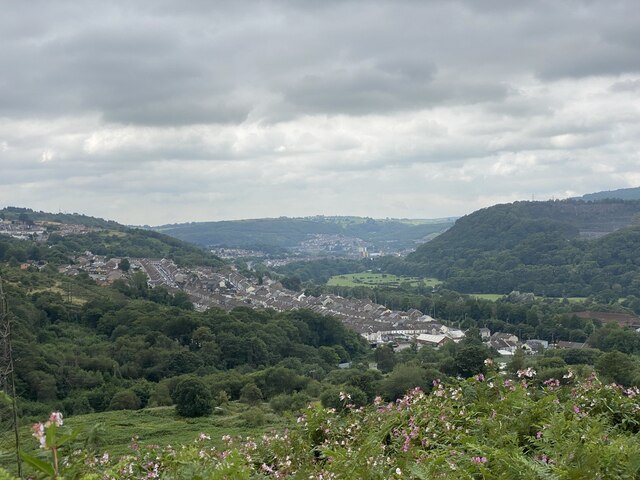
Image: © Alan Hughes Taken: 26 Aug 2021
View over Cilfynydd towards Pontypridd. Beyond the wooded hillside is the mouth of the Rhondda valley. Afon Rhondda flows into the Taf at Pontypridd.
Images are licensed for reuse under creativecommons.org/licenses/by-sa/2.0
Image Location
Latitude
51.62165
Longitude
-3.319208