Mixed agriculture, Tythegston
Introduction
The photograph on this page of Mixed agriculture, Tythegston by eswales as part of the Geograph project.
The Geograph project started in 2005 with the aim of publishing, organising and preserving representative images for every square kilometre of Great Britain, Ireland and the Isle of Man.

There are currently over 7.5m images from over 14,400 individuals and you can help contribute to the project by visiting https://www.geograph.org.uk
Mixed agriculture, Tythegston
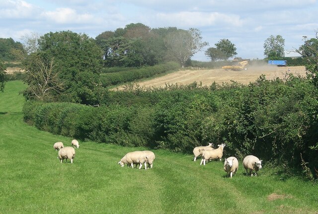
Image: © eswales Taken: 24 Aug 2021
As sheep graze in the foreground, a crop is being harvested in a field beyond.
Images are licensed for reuse under creativecommons.org/licenses/by-sa/2.0
Image Location
Latitude
51.495773
Longitude
-3.64558