Coppice Road at Howbeck Road
Introduction
The photograph on this page of Coppice Road at Howbeck Road by Alan Murray-Rust as part of the Geograph project.
The Geograph project started in 2005 with the aim of publishing, organising and preserving representative images for every square kilometre of Great Britain, Ireland and the Isle of Man.

There are currently over 7.5m images from over 14,400 individuals and you can help contribute to the project by visiting https://www.geograph.org.uk
Coppice Road at Howbeck Road
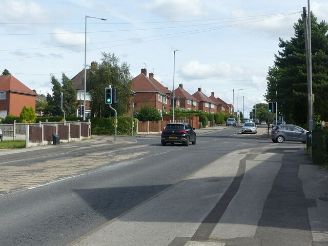
Image: © Alan Murray-Rust Taken: 12 Aug 2021
Coppice Road was originally Spout Lane, before housing was developed in the area. Mapping from just before WW2 shows that there was a small development just around this cross-roads, clearly intended as the basis of later development, but delayed by the war. The style of housing is typical of local council estates.
Images are licensed for reuse under creativecommons.org/licenses/by-sa/2.0
Image Location
Latitude
53.004397
Longitude
-1.111796