Parapet of railway tunnel and #129 London Road
Introduction
The photograph on this page of Parapet of railway tunnel and #129 London Road by Roger Templeman as part of the Geograph project.
The Geograph project started in 2005 with the aim of publishing, organising and preserving representative images for every square kilometre of Great Britain, Ireland and the Isle of Man.

There are currently over 7.5m images from over 14,400 individuals and you can help contribute to the project by visiting https://www.geograph.org.uk
Parapet of railway tunnel and #129 London Road
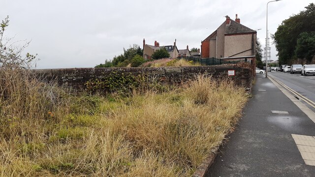
Image: © Roger Templeman Taken: 30 Jul 2021
Ordnance Survey documents indicate that a benchmark was levelled at 69.808 feet above Liverpool Datum on the back of the bridge 4.54 feet above rail level during the 1841-1844 Liverpool to Port Carlisle 1GL Survey. See www.bench-marks.org.uk/bm38812
Images are licensed for reuse under creativecommons.org/licenses/by-sa/2.0
Image Location
Latitude
54.885719
Longitude
-2.919983