Ridgemount Way
Introduction
The photograph on this page of Ridgemount Way by Ian Capper as part of the Geograph project.
The Geograph project started in 2005 with the aim of publishing, organising and preserving representative images for every square kilometre of Great Britain, Ireland and the Isle of Man.

There are currently over 7.5m images from over 14,400 individuals and you can help contribute to the project by visiting https://www.geograph.org.uk
Ridgemount Way
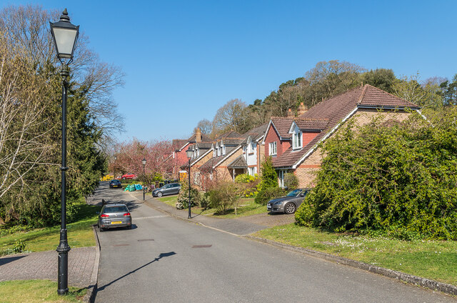
Image: © Ian Capper Taken: 19 Apr 2021
Cul-de-sac off Pendleton Road completed in c.1997 on the site of a large Victorian house named Earlswood Mount which in its later years had been used for accommodation and offices by the nearby Redhill General Hospital.
Images are licensed for reuse under creativecommons.org/licenses/by-sa/2.0
Image Location
Latitude
51.22778
Longitude
-0.182005