Bull Ring/Corve Street
Introduction
The photograph on this page of Bull Ring/Corve Street by Richard Webb as part of the Geograph project.
The Geograph project started in 2005 with the aim of publishing, organising and preserving representative images for every square kilometre of Great Britain, Ireland and the Isle of Man.

There are currently over 7.5m images from over 14,400 individuals and you can help contribute to the project by visiting https://www.geograph.org.uk
Bull Ring/Corve Street
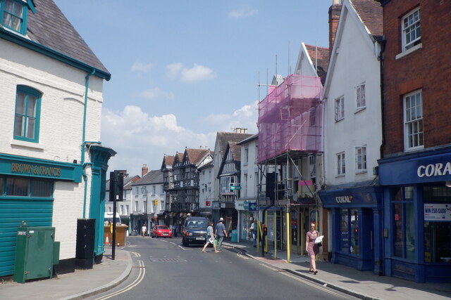
Image: © Richard Webb Taken: 22 Jul 2021
The street names are somewhat interchangeable here. This used to be the A49 until the end of 1979 and was chaos. No traffic lights then either.
Images are licensed for reuse under creativecommons.org/licenses/by-sa/2.0
Image Location


Leaflet Map data © OpenStreetMap
Latitude
52.368346
Longitude
-2.717712