Port Royal Inn, River Exe in reduced flow
Introduction
The photograph on this page of Port Royal Inn, River Exe in reduced flow by David Smith as part of the Geograph project.
The Geograph project started in 2005 with the aim of publishing, organising and preserving representative images for every square kilometre of Great Britain, Ireland and the Isle of Man.

There are currently over 7.5m images from over 14,400 individuals and you can help contribute to the project by visiting https://www.geograph.org.uk
Port Royal Inn, River Exe in reduced flow
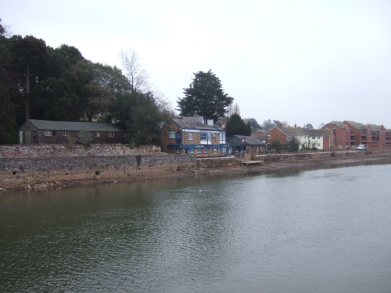
Image: © David Smith Taken: 15 Feb 2008
In February 2008, the Environment Agency carried out survey and dredging work on the River Exe between Millers Bridge (SX914926) and Trews Weir (SX924915) which meant that the river level was lowered by between 1 and 2 metres. This is one of a set of pictures showing the river in such unusual circumstances. The pictures of the quay form a panorama showing some of the bedrock on which the quay was built.
Images are licensed for reuse under creativecommons.org/licenses/by-sa/2.0
Image Location
Latitude
50.715295
Longitude
-3.525758