South Cliff
Introduction
The photograph on this page of South Cliff by Ian Capper as part of the Geograph project.
The Geograph project started in 2005 with the aim of publishing, organising and preserving representative images for every square kilometre of Great Britain, Ireland and the Isle of Man.

There are currently over 7.5m images from over 14,400 individuals and you can help contribute to the project by visiting https://www.geograph.org.uk
South Cliff
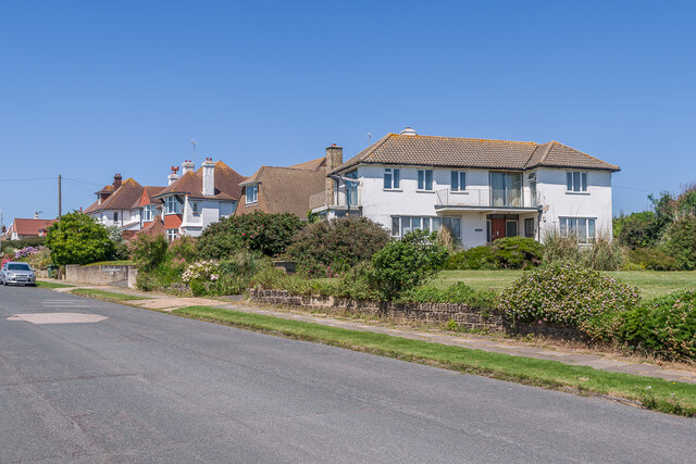
Image: © Ian Capper Taken: 16 Jul 2021
Housing on South Cliff by its junction with Richmond Avenue. The nearest house, 24 Richmond Avenue, dates from the c1950s/60s, with those beyond, in South Cliff, dating from the c.1920s/30s
Images are licensed for reuse under creativecommons.org/licenses/by-sa/2.0
Image Location
Latitude
50.835851
Longitude
0.452738