Cropping at Southhook
Introduction
The photograph on this page of Cropping at Southhook by Alan Reid as part of the Geograph project.
The Geograph project started in 2005 with the aim of publishing, organising and preserving representative images for every square kilometre of Great Britain, Ireland and the Isle of Man.

There are currently over 7.5m images from over 14,400 individuals and you can help contribute to the project by visiting https://www.geograph.org.uk
Cropping at Southhook
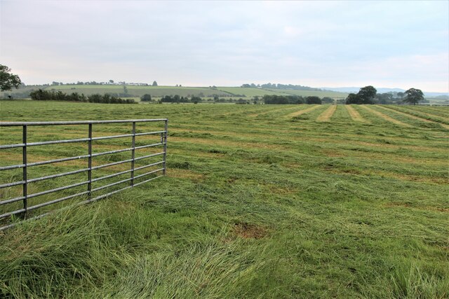
Image: © Alan Reid Taken: 13 Jul 2021
The distant hedge follows an old dismantled rail line, now a walk between Kilmarnock and Irvine.
Images are licensed for reuse under creativecommons.org/licenses/by-sa/2.0
Image Location
Latitude
55.628109
Longitude
-4.571146