Public gardens alongside Oak Street
Introduction
The photograph on this page of Public gardens alongside Oak Street by Oliver Dixon as part of the Geograph project.
The Geograph project started in 2005 with the aim of publishing, organising and preserving representative images for every square kilometre of Great Britain, Ireland and the Isle of Man.

There are currently over 7.5m images from over 14,400 individuals and you can help contribute to the project by visiting https://www.geograph.org.uk
Public gardens alongside Oak Street
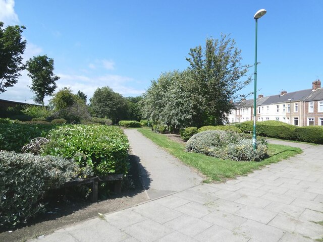
Image: © Oliver Dixon Taken: 14 Jul 2021
The Monkton Cycleway (Regional Route 11 of the National Cycle Network) runs the length of the gardens.
Images are licensed for reuse under creativecommons.org/licenses/by-sa/2.0
Image Location
Latitude
54.978397
Longitude
-1.499536