West Kirk House
Introduction
The photograph on this page of West Kirk House by Richard Sutcliffe as part of the Geograph project.
The Geograph project started in 2005 with the aim of publishing, organising and preserving representative images for every square kilometre of Great Britain, Ireland and the Isle of Man.

There are currently over 7.5m images from over 14,400 individuals and you can help contribute to the project by visiting https://www.geograph.org.uk
West Kirk House
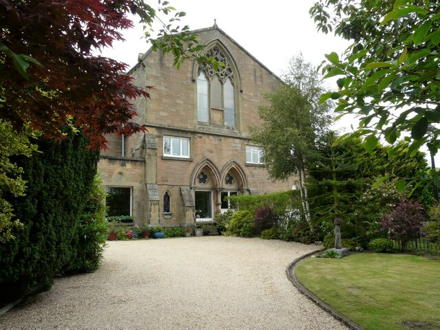
Image: © Richard Sutcliffe Taken: 9 Jul 2021
Former Kilmadock West Parish Church on Balkerack Street. Now residential, having been converted to a house in 1964.
Images are licensed for reuse under creativecommons.org/licenses/by-sa/2.0
Image Location
Latitude
56.190992
Longitude
-4.055034