Royal Parade, Bayshill Road
Introduction
The photograph on this page of Royal Parade, Bayshill Road by Philip Halling as part of the Geograph project.
The Geograph project started in 2005 with the aim of publishing, organising and preserving representative images for every square kilometre of Great Britain, Ireland and the Isle of Man.

There are currently over 7.5m images from over 14,400 individuals and you can help contribute to the project by visiting https://www.geograph.org.uk
Royal Parade, Bayshill Road
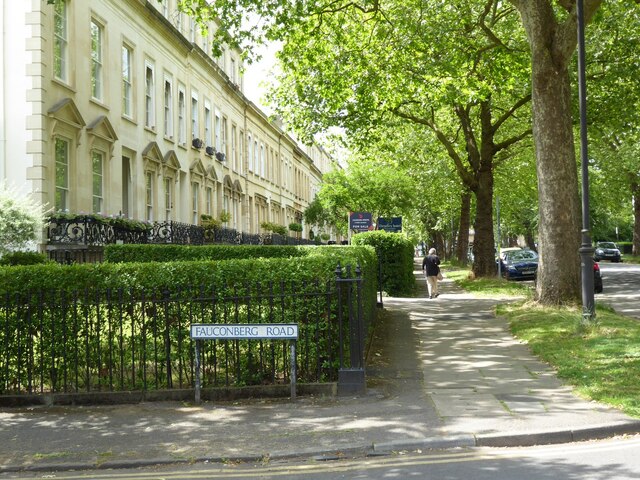
Image: © Philip Halling Taken: 26 Jun 2021
The Royal Parade on Bayshill Road was built around 1845-50 and is Grade II listed, see: https://historicengland.org.uk/listing/the-list/list-entry/1386734
Images are licensed for reuse under creativecommons.org/licenses/by-sa/2.0
Image Location


Leaflet Map data © OpenStreetMap
Latitude
51.896968
Longitude
-2.082354