The Kirklees Way leaving Upper House towards Hepworth
Introduction
The photograph on this page of The Kirklees Way leaving Upper House towards Hepworth by Humphrey Bolton as part of the Geograph project.
The Geograph project started in 2005 with the aim of publishing, organising and preserving representative images for every square kilometre of Great Britain, Ireland and the Isle of Man.

There are currently over 7.5m images from over 14,400 individuals and you can help contribute to the project by visiting https://www.geograph.org.uk
The Kirklees Way leaving Upper House towards Hepworth
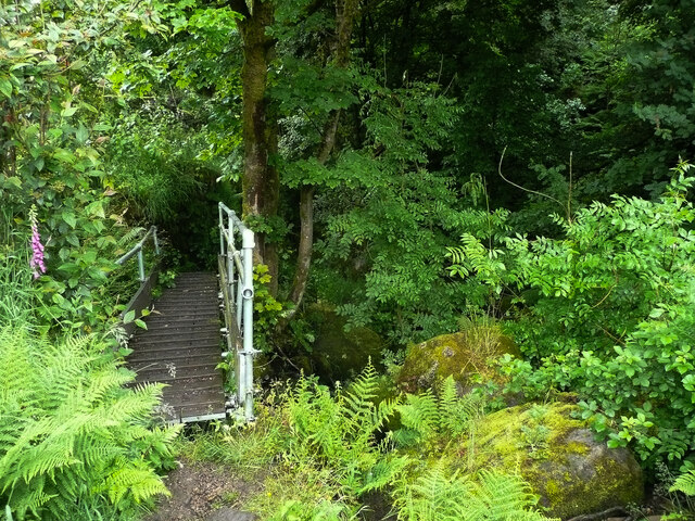
Image: © Humphrey Bolton Taken: 25 Jun 2021
This bridge is alongside rather than across the stream. The path follows the stream through woodland, crossing it several times by footbridges and once on stepping stones. It is very rough and not at all 'granny-friendly'.
Images are licensed for reuse under creativecommons.org/licenses/by-sa/2.0
Image Location
Latitude
53.55023
Longitude
-1.76919