
Permissive path in woodland by A48 underpass, Bridgend
Introduction
The photograph on this page of Permissive path in woodland by A48 underpass, Bridgend by eswales as part of the Geograph project.
The Geograph project started in 2005 with the aim of publishing, organising and preserving representative images for every square kilometre of Great Britain, Ireland and the Isle of Man.

There are currently over 7.5m images from over 14,400 individuals and you can help contribute to the project by visiting https://www.geograph.org.uk
Permissive path in woodland by A48 underpass, Bridgend
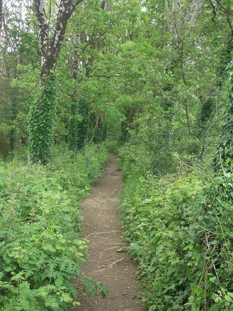
Image: © eswales Taken: 8 Jun 2021
A short stretch of a permissive path which walkers pass along when using an underpass beneath the A48 on the western outskirts of Bridgend. The southern entrance to the underpass lies just behind the camera. Using the permissive path and underpass is an option available to those on the public footpath between Newbridge Fields and New Inn Bridge if they wish to avoid walking across the very busy A48.
Images are licensed for reuse under creativecommons.org/licenses/by-sa/2.0
Image Location

Latitude
51.495486
Longitude
-3.594745