Gate and kissing gate by Hall Brook, Keresley
Introduction
The photograph on this page of Gate and kissing gate by Hall Brook, Keresley by A J Paxton as part of the Geograph project.
The Geograph project started in 2005 with the aim of publishing, organising and preserving representative images for every square kilometre of Great Britain, Ireland and the Isle of Man.

There are currently over 7.5m images from over 14,400 individuals and you can help contribute to the project by visiting https://www.geograph.org.uk
Gate and kissing gate by Hall Brook, Keresley
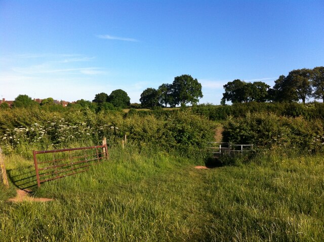
Image: © A J Paxton Taken: 15 Jun 2021
These fields between Keresley and Holbrooks have effectively open access to walkers, at least until houses are built on them, their likely fate. The edge of the Coventry built-up area can be seen at the left of the photo.
Images are licensed for reuse under creativecommons.org/licenses/by-sa/2.0
Image Location


Leaflet Map data © OpenStreetMap
Latitude
52.448976
Longitude
-1.529997