Footpath on old Railway, Aldersley, Wolverhampton
Introduction
The photograph on this page of Footpath on old Railway, Aldersley, Wolverhampton by Roger D Kidd as part of the Geograph project.
The Geograph project started in 2005 with the aim of publishing, organising and preserving representative images for every square kilometre of Great Britain, Ireland and the Isle of Man.

There are currently over 7.5m images from over 14,400 individuals and you can help contribute to the project by visiting https://www.geograph.org.uk
Footpath on old Railway, Aldersley, Wolverhampton
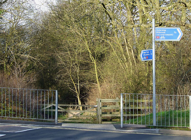
Image: © Roger D Kidd Taken: 8 Feb 2008
The GWR railway from Stourbridge to Wolverhampton joined up with the main line a couple of hundred metres or so forward of here. The line was finally closed in 1965. Here a new road system has been built across it to give access to the stadium and leisure complex.
Images are licensed for reuse under creativecommons.org/licenses/by-sa/2.0
Image Location


Leaflet Map data © OpenStreetMap
Latitude
52.606506
Longitude
-2.151166