Cyclepath and Felling Bypass Subway
Introduction
The photograph on this page of Cyclepath and Felling Bypass Subway by David Dixon as part of the Geograph project.
The Geograph project started in 2005 with the aim of publishing, organising and preserving representative images for every square kilometre of Great Britain, Ireland and the Isle of Man.

There are currently over 7.5m images from over 14,400 individuals and you can help contribute to the project by visiting https://www.geograph.org.uk
Cyclepath and Felling Bypass Subway
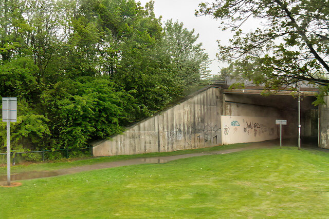
Image: © David Dixon Taken: 21 May 2021
The underpass below the A184, Felling Bypass. The path follows part of the old Bowes Railway, originally a colliery railway built to carry coal from the pits at Dipton to the Tyne at Jarrow. The line closed in 1974 and The path following its route is now designated as Regional Route 11 of the National Cycle Network.
Images are licensed for reuse under creativecommons.org/licenses/by-sa/2.0
Image Location
Latitude
54.946786
Longitude
-1.527093