West parapet of Main Street railway bridge
Introduction
The photograph on this page of West parapet of Main Street railway bridge by phil Richards as part of the Geograph project.
The Geograph project started in 2005 with the aim of publishing, organising and preserving representative images for every square kilometre of Great Britain, Ireland and the Isle of Man.

There are currently over 7.5m images from over 14,400 individuals and you can help contribute to the project by visiting https://www.geograph.org.uk
West parapet of Main Street railway bridge
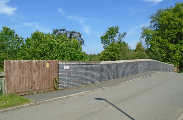
Image: © phil Richards Taken: 2 Jun 2021
Ordnance Survey documents indicate that a benchmark levelled at 73.618m above Newlyn Datum was verified in 1962 on the parapet over the south side of the railway. See www.bench-marks.org.uk/bm148410
Images are licensed for reuse under creativecommons.org/licenses/by-sa/2.0
Image Location
Latitude
52.754767
Longitude
-0.938186