Road junction in Bredgar
Introduction
The photograph on this page of Road junction in Bredgar by Penny Mayes as part of the Geograph project.
The Geograph project started in 2005 with the aim of publishing, organising and preserving representative images for every square kilometre of Great Britain, Ireland and the Isle of Man.

There are currently over 7.5m images from over 14,400 individuals and you can help contribute to the project by visiting https://www.geograph.org.uk
Road junction in Bredgar
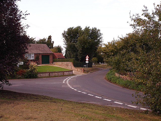
Image: © Penny Mayes Taken: 29 Sep 2005
Silver Street (left) joins Gore Road (right) and Wrens Road on this corner. The village cemetery is just in view in Wrens Road.
Images are licensed for reuse under creativecommons.org/licenses/by-sa/2.0
Image Location


Leaflet Map data © OpenStreetMap
Latitude
51.311751
Longitude
0.691786