Ryton on Dunsmore Parish Council Notice Board
Introduction
The photograph on this page of Ryton on Dunsmore Parish Council Notice Board by Stephen McKay as part of the Geograph project.
The Geograph project started in 2005 with the aim of publishing, organising and preserving representative images for every square kilometre of Great Britain, Ireland and the Isle of Man.

There are currently over 7.5m images from over 14,400 individuals and you can help contribute to the project by visiting https://www.geograph.org.uk
Ryton on Dunsmore Parish Council Notice Board
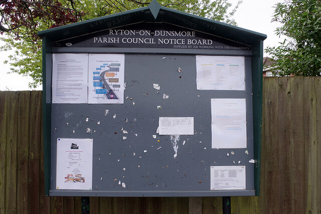
Image: © Stephen McKay Taken: 28 May 2021
The notice board is located adjacent to the Co-op at the junction of High Street and Warren Field. The notices include information about a referendum on the local neighbourhood plan held on 6th May.
Images are licensed for reuse under creativecommons.org/licenses/by-sa/2.0
Image Location
Latitude
52.363701
Longitude
-1.436621